Targeted aerial check
A focused visual check of one agreed area or concern.
 Request a survey →
Roof and property imagery
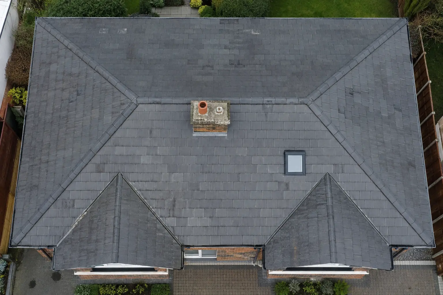
High-resolution aerial imagery for roofs, chimneys, gutters, commercial buildings and difficult high-level areas. Choose a focused visual check, complete image pack or annotated report.
Clear terminology
People use phrases such as drone survey, aerial roof survey and drone property inspection for the same basic need: a clear view of areas that are difficult to see safely from ground level. Our service records visible external conditions; it is not a structural, measured or thermal survey.
Domestic prices
A focused visual check of one agreed area or concern.
Organised high-resolution imagery covering the agreed roof and exterior areas.
The full image pack with annotations, priorities and recommended next steps.
Commercial image packs start from £149 and commercial annotated visual reports from £249. Large, complex or multi-building premises are quoted individually.
Local service
Serving homeowners, landlords, contractors, facilities teams and commercial property clients across the peninsula. See the complete service-area guide for further local coverage information.
View all areas covered →Common questions
The terms are often used interchangeably online. Wirral Drone Services provides an external, non-invasive visual inspection using high-resolution aerial imagery. You can choose images only or an annotated visual condition report.
No. The service records visible external conditions in the captured imagery. It does not assess structural adequacy, concealed defects, compliance, value or the cause of internal damp without further specialist investigation.
No. The current service is high-resolution visual imagery and annotated reporting. It does not include thermal imaging, photogrammetry, measured surveys or 3D modelling.
Typical coverage includes pitched and flat roofs, roof junctions, chimneys, gutters, flashings, rooflights, cladding and accessible high-level exterior areas, subject to the agreed scope and safe flying conditions.
A targeted check of one concern is £49, a domestic image pack is £69, and a domestic annotated visual condition report including images is £99. Commercial image packs start from £149.
Request a visual survey
Send the property location and a short description of the area or concern. We’ll confirm the appropriate service, price and next available date.
Complete the enquiry form →